Newfoundland's Viking Trail
July 2013
Newfoundland's Viking Trail goes from Gros Morne National Park to the tip of the Northern Peninsula. Since we discussed Gros Morne separately, this will be about the rest of the trail.
We left Gros Morne on Sunday morning and headed for a 2 night stay in a cabin in the small village of Raleigh. As we made our way north, the landscape slowly changed. On our travels we stopped at Arches Provincial Park, Table Point Ecological Reserve and a few of the many coves along the way. The shorelines were rugged and the villages were quaint.
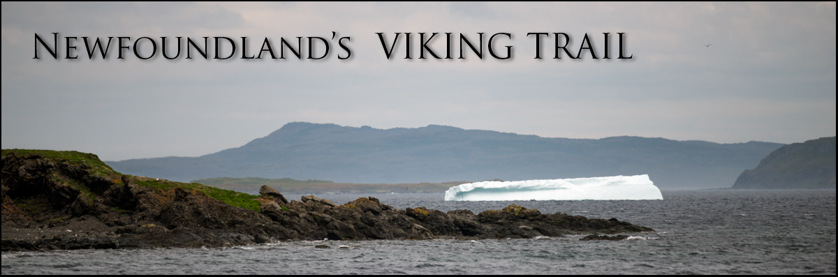
After checking in at our cabin, we spent the rest of the day exploring the area as far as Cape Onion. This is where we got our first glimpse of an iceberg. The area also had lots of Common Eiders and a lovely panoramic view from a lookout at the end of the road.
The next morning, we spent 4 hours hiking the Burnt Cape Ecological Reserve. This place is one of the most important botanical sites in the province and hosts a habitat for many rare species of plants. It is a very cool and barren landscape, but the wildflowers were amazing.
We spent the rest of the day exploring the northern tip. In St. Lunaire-Griquiet, we seen 7 icebergs and 3 more before we reached LÀnse aux Meadows. We visited most of the coves and villages in the area and noted Goose Cove as the prettiest and Cook`s Habour as one of the more interesting.

Moss Campion Photo by Tony deGroot


